19 hours of Kaiserstuhl
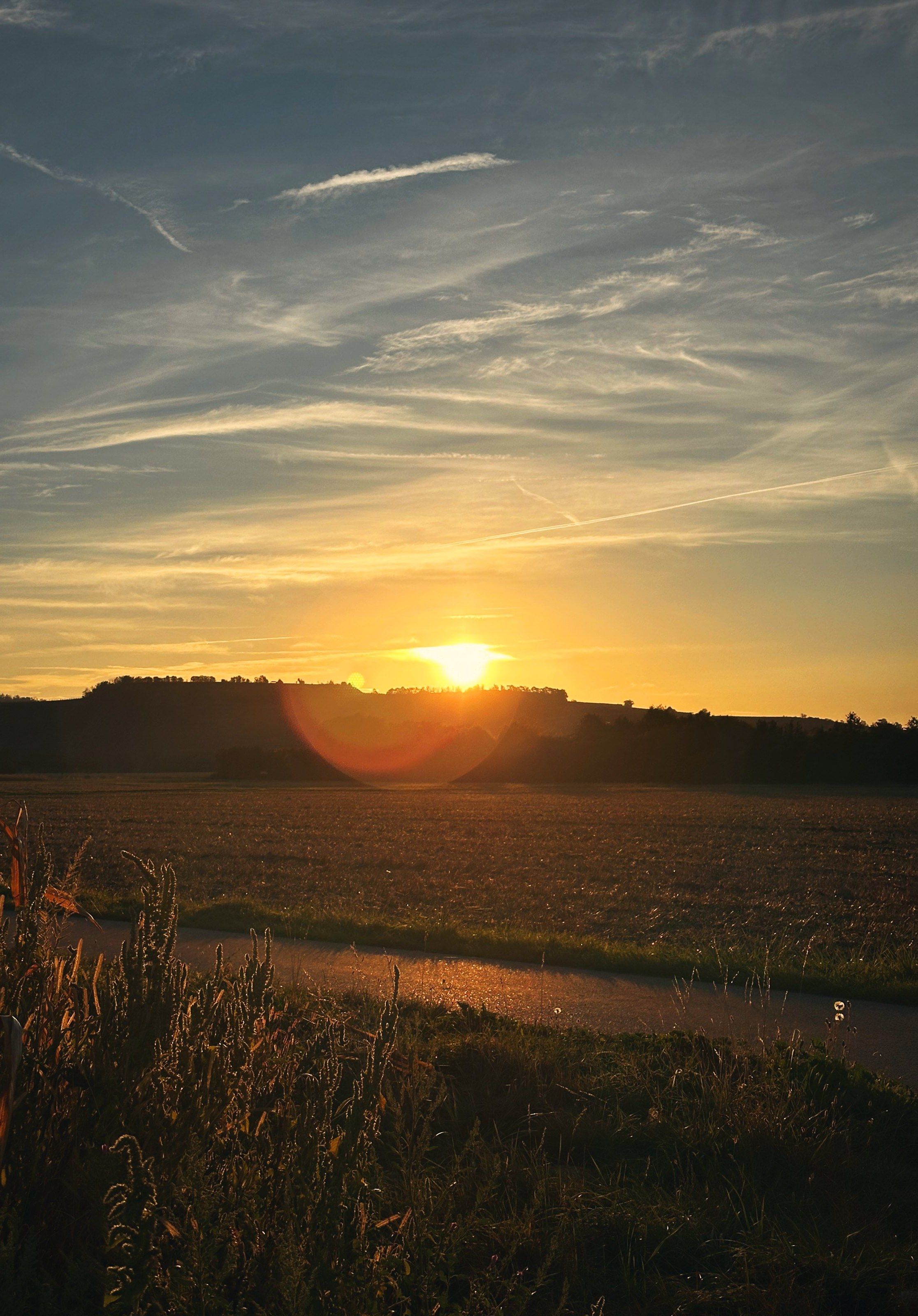
From the night in Endingen through sunrise to soup in the afternoon – once around the Kaiserstuhl.
- 54 km
- Start 10:49 pm
- Hiking trail
I’m Tea and I hike between the Black Forest, the Vosges and the Alps. Here you’ll find my hikes to follow – with photos, a tour guide and the packing list that fits the distance and the weather.
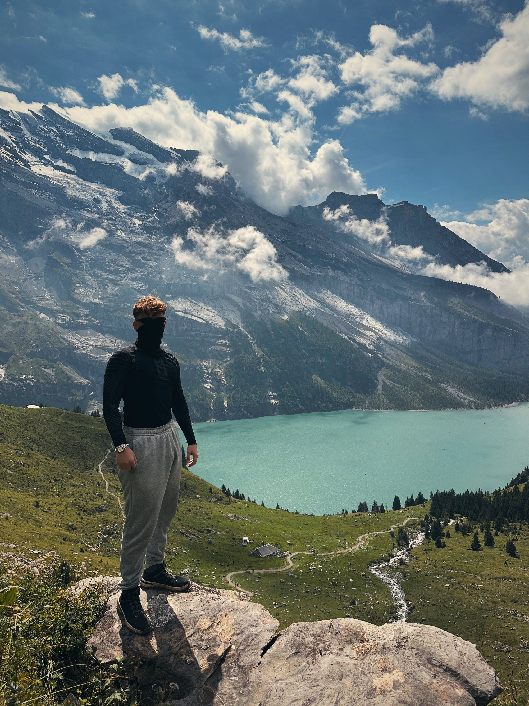
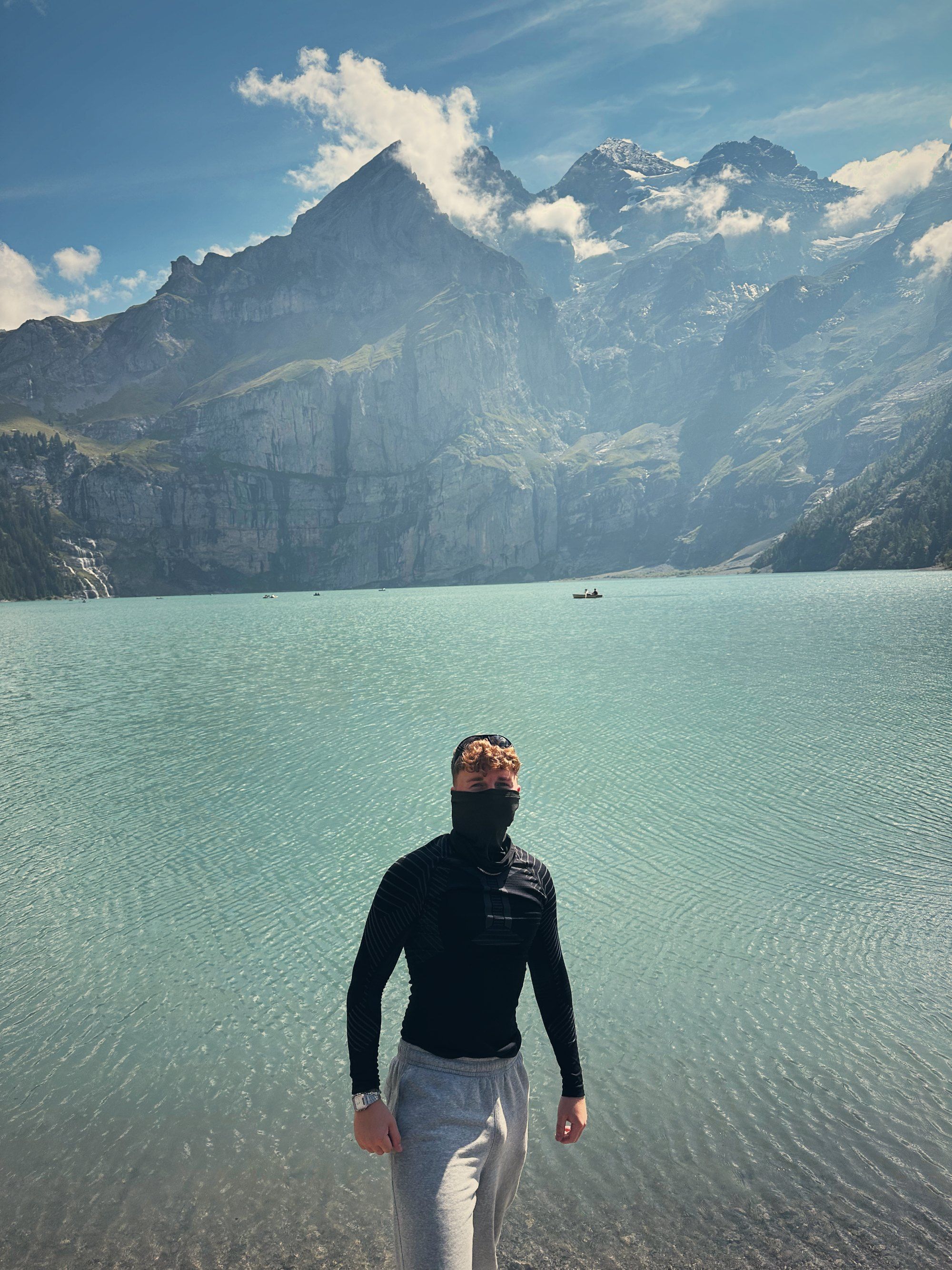
Lake Oeschinen, Bernese Oberland
Every hike has a guide: where it starts, what to expect, which packing list fits – and the Komoot link to follow or the location.
All hikesPick distance, temperature and weather and the list adapts. Then send it to your WhatsApp group – everyone copies it and ticks it off – or save it as a PDF.
WhatsApp PDF
Build your packing listThe clips from Instagram – with the details that don’t fit into 30 seconds.
From the night in Endingen through sunrise to soup in the afternoon – once around the Kaiserstuhl.
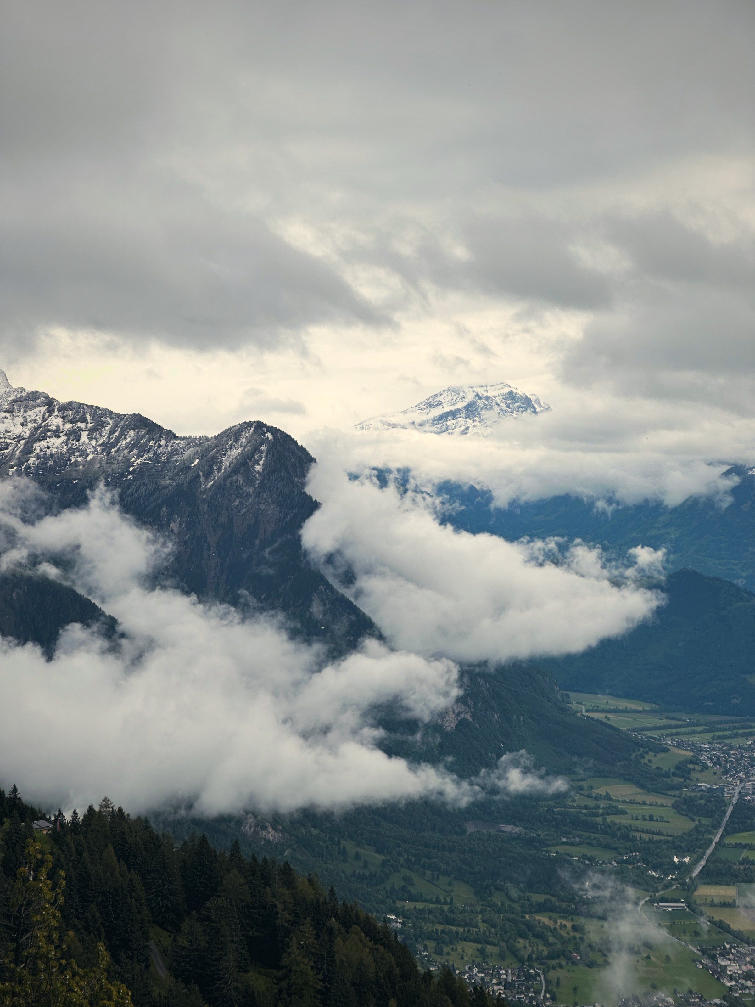
Fog on the rock, snow in May and a sunset over a sea of clouds. The next morning it was all gone.
Mountain lakes and rock faces just across the border – and the feeling of simply setting off.
The longer version, in German: how a hike felt, with photos you won’t see on Instagram.
All stories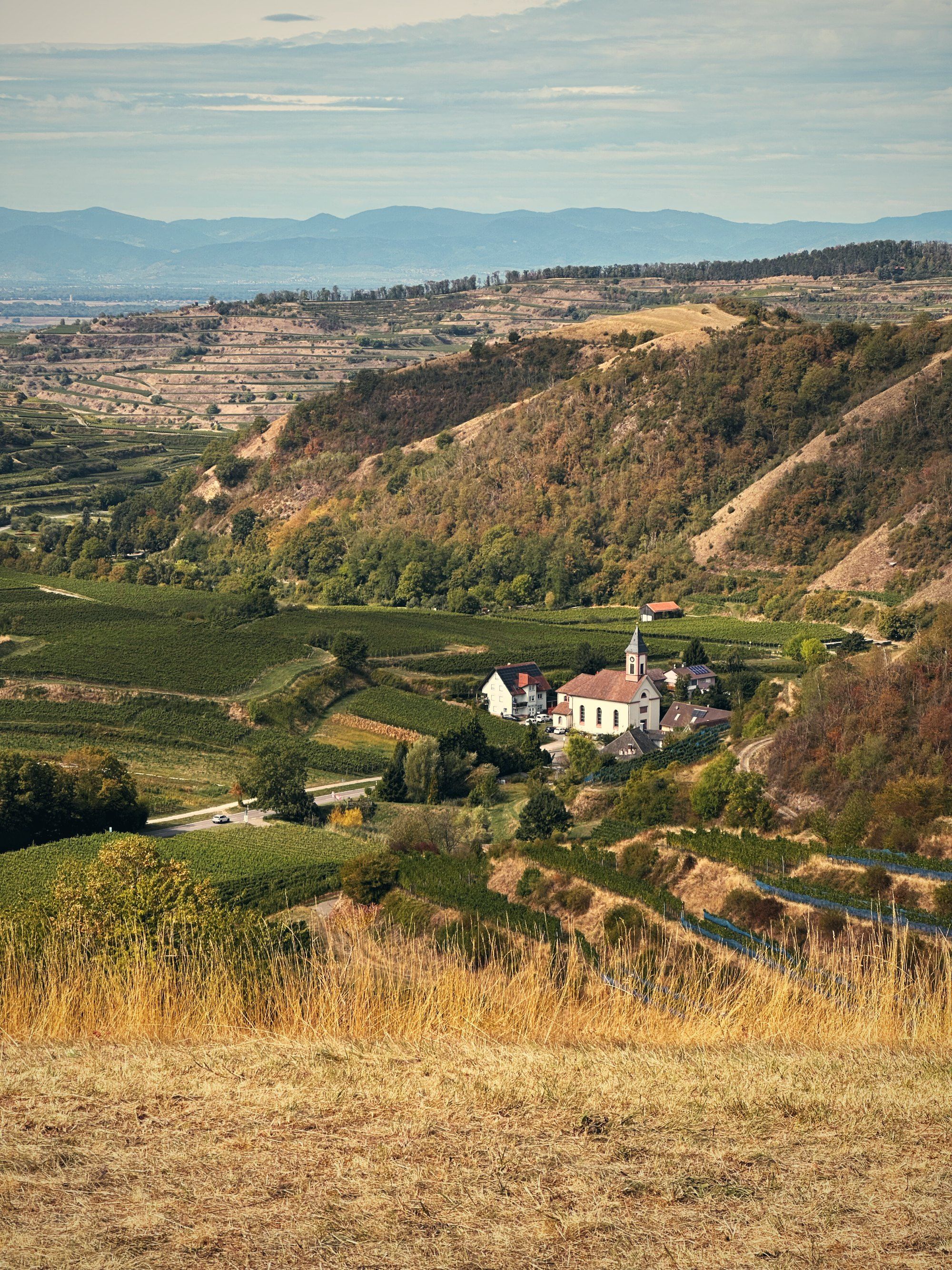
Kaiserstuhl, September 2026
Start um 22:49 Uhr in Endingen, Ziel am nächsten Nachmittag wieder in Endingen. Dazwischen: 54 Kilometer, ein See voller Schwäne mitten in der Nacht und eine heiße Suppe am Schluss.
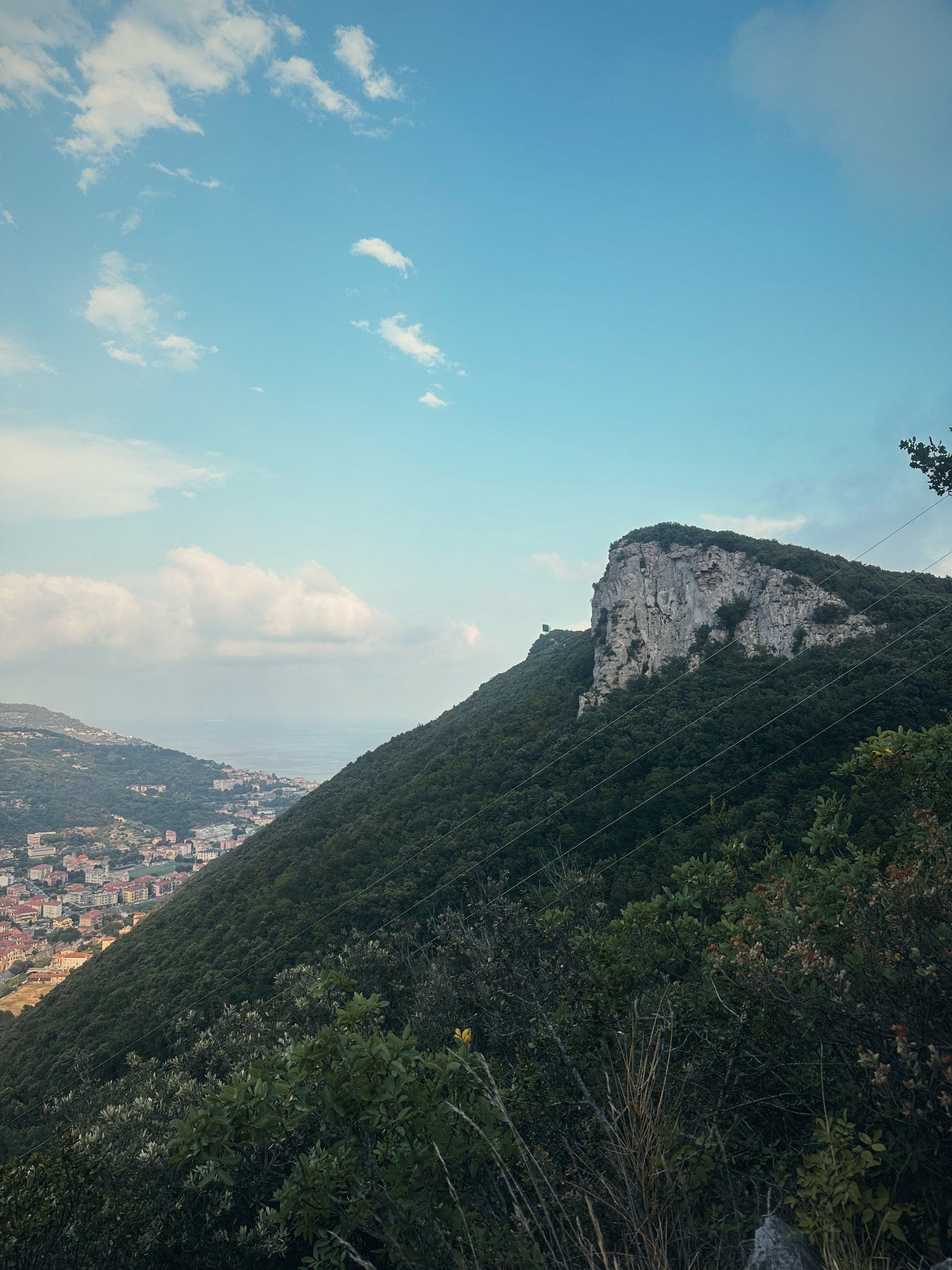
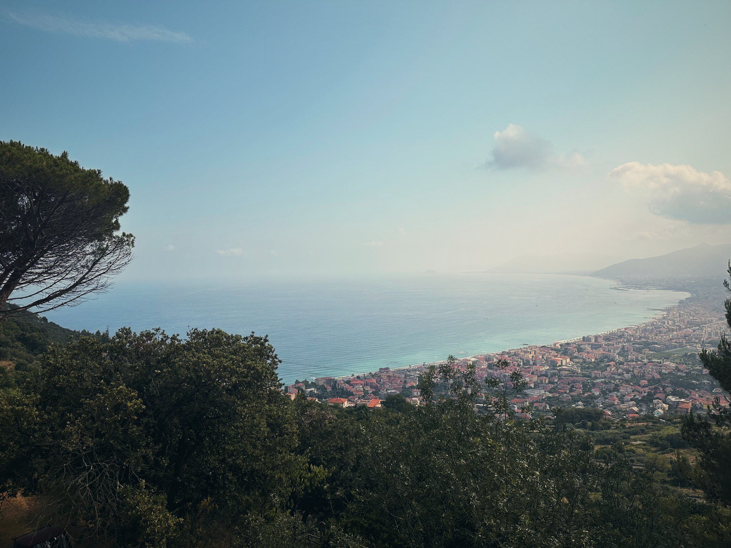
Ligurien, Juli 2026
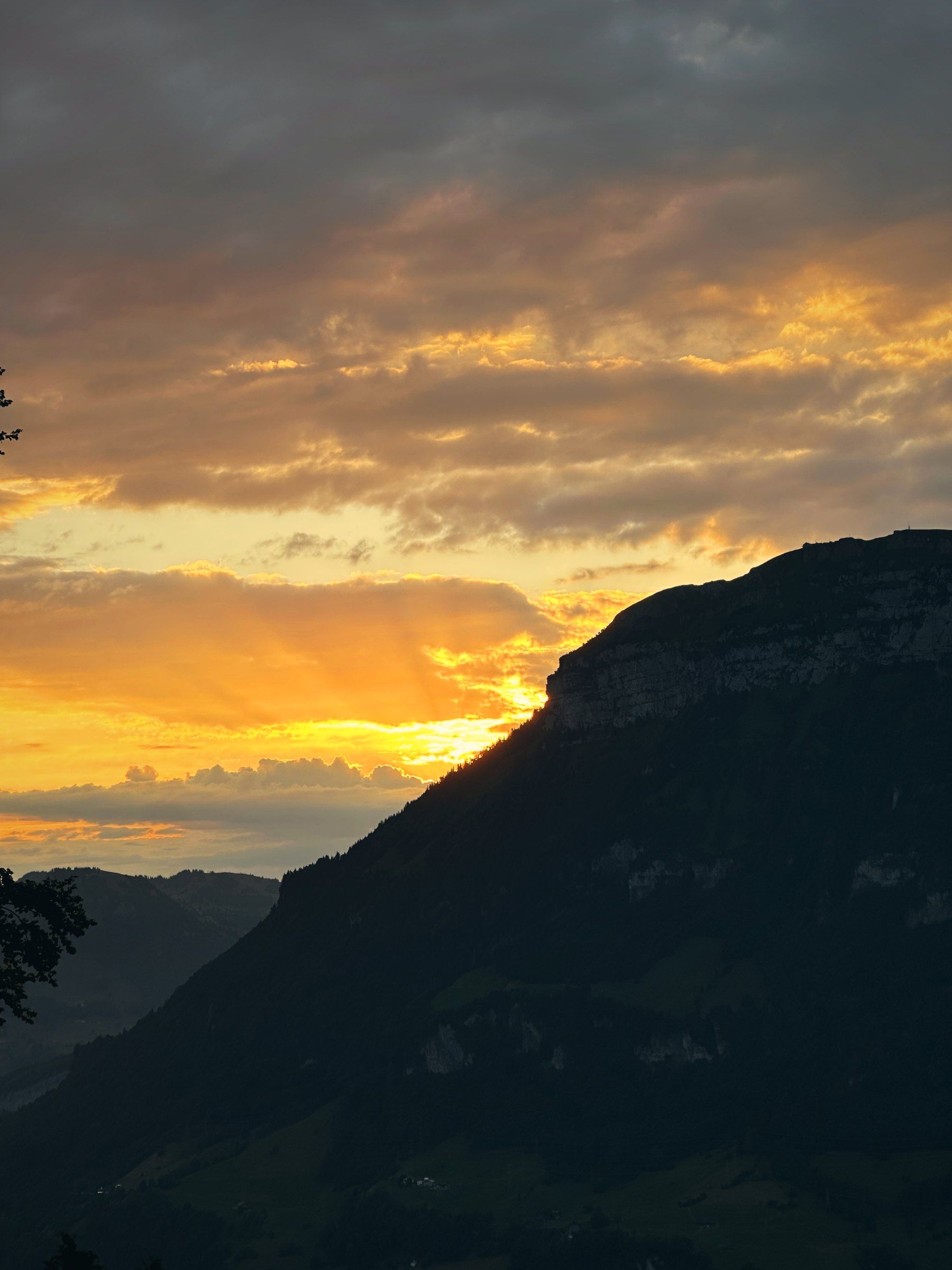
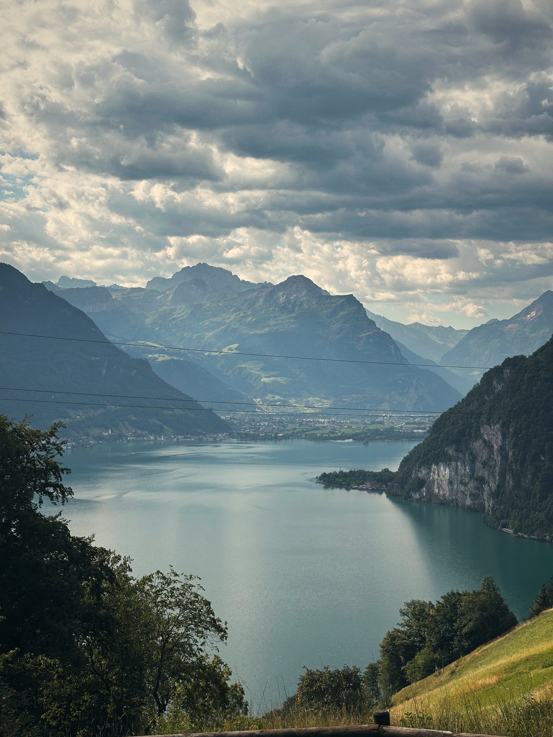
Zentralschweiz, Juli 2026
Tea is my nickname. I’m from Kenzingen and head out on my days off – mostly right on my doorstep, sometimes overnight and sometimes at minus seven degrees.